Rhode Island Historical Cemeteries
Home
Members
Events
Meetings/Minutes
Database
FAQ/Documents
Links
Groups/Associations
Contact
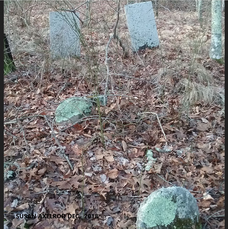
FEATURED CEMETERY PHOTO
Photo/Image Courtesy of Rhode Island Historic Cemetery Volunteers
Cemetery Number
SK053
Town
SOUTH KINGSTOWN
Cemetery Name
DAVID SHERMAN LOT
Find A Grave (Opens in New Tab)
Go to Find a Grave
Graves List
Display Graves List
Location
BLUEBERRY LANE
State
RI
Direction
N
Pole Number
13
Distance
450
Map Number
Page Number
Plat Number
Deed Book
Deed Page
Size in Feet
30
Size in Feet
30
Inscriptions
2
Fieldstones
4
Tombs
Exist?
YES
Last seen date?
2003
Newest
1845
Oldest
1829
Vandalism
N
Veteran
Pole
P
Comment
This cemetery is located 450 feet north of Blueberry Lane between houses #225 and #230 at telephone pole # 13. It is about fifty feet north of the stone wall. It is thirty feet square, in good condition, with no enclosure, and the historical cemetery sign is in poor condition. There are six burials with two inscribed stones and four fieldstones. James N. Arnold recorded this lot Nov. 19, 1880, his #259, “on land of John G. Clarke north of the above lot [SK 113] beside wall no other protection, lot overrun with brier and white birches. Four small graves at feet with rude stone only.” Recorded by John Sterling and James Wheaton for a 2004 book on South Kingstown cemeteries.
Condition
good
Enclosure
no enclosure
Gate
no gate
Growth
overgrown-trees
Terrain
level
Cemetery Location
Cemetery Burial Map
ADDITIONAL CEMETERY PHOTOS/MAPS
 Photo/Image Courtesy of Rhode Island Historic Cemetery Volunteers