| Cemetery Number | SM041 |
| Town | SMITHFIELD |
| Cemetery Name | ROBERT LATHAM LOT |
| Find A Grave (Opens in New Tab) |
Go to Find a Grave
|
| Graves List | Display Graves List |
| Location | CEDAR SWAMP ROAD |
| State | RI |
| Direction | E |
| Pole Number | 16 |
| Distance | 300 |
| Map Number | |
| Page Number | 43 |
| Plat Number | 18 |
| Deed Book | |
| Deed Page | |
| Size in Feet | 150 |
| Size in Feet | 60 |
| Inscriptions | 37 |
| Fieldstones | 16 |
| Tombs | |
| Exist? | YES |
| Last seen date? | |
| Newest | 1916 |
| Oldest | 1790 |
| Vandalism | Y |
| Veteran | 1 |
| Pole | F |
| Comment | Transcribed by James N Arnold August 25, 1919 (Vol 25 pp104-112). He described it as follows:
"In back of the second house north from the Mowry Four Corners, in the edge of the woodland and on the east side of the road, on top of hill, there are several lots here, badly neglected most of them."
In addition to Arnold's transcription, Grace G Tillinghast (Vol 25, page 112) transcribed 7 additional stones in 1932.
Transcribed by Ethel M White March 2, 1937. "Gravel Pit Route 5."
Transcribed by Charles & Martha Benns who assigned it #783. Their transcription can be found in Vol 5 page 11. Their description is only "Latham Family, Smithfield"
Transcribed by Ron Farrar who described it simply as "Cedar Swamp Road"
He also states at the end of his transcription that many fieldstone graves, partially destroyed by gravel removal.
Transcribed by Roger Beaudry November 21, 1998. This burial yard has three distinct sections. Section "A" is an area 28' x 14' enclosed with granite posts and iron rails. Section "B" is adjacent to "A",is enclosed only by granite posts and is 10' x 12'. The rest of the graves are in an open area. The entire area of the burial ground is approximately 150' x 60' including
Sections "A" & "B".
Some excavation has taken place adjacent to the burial ground. |
| Condition | poor |
| Enclosure | no enclosure |
| Gate | no gate |
| Growth | overgrown-trees |
| Terrain | hilly steep |
| Cemetery Location |
|
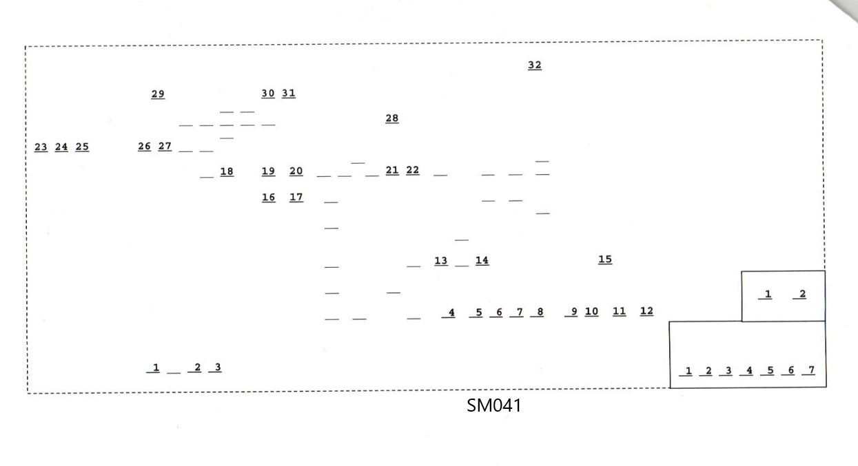
| Cemetery Burial Map |
|
| |
|