Rhode Island Historical Cemeteries
Home
Members
Events
Meetings/Minutes
Database
FAQ/Documents
Links
Groups/Associations
Contact
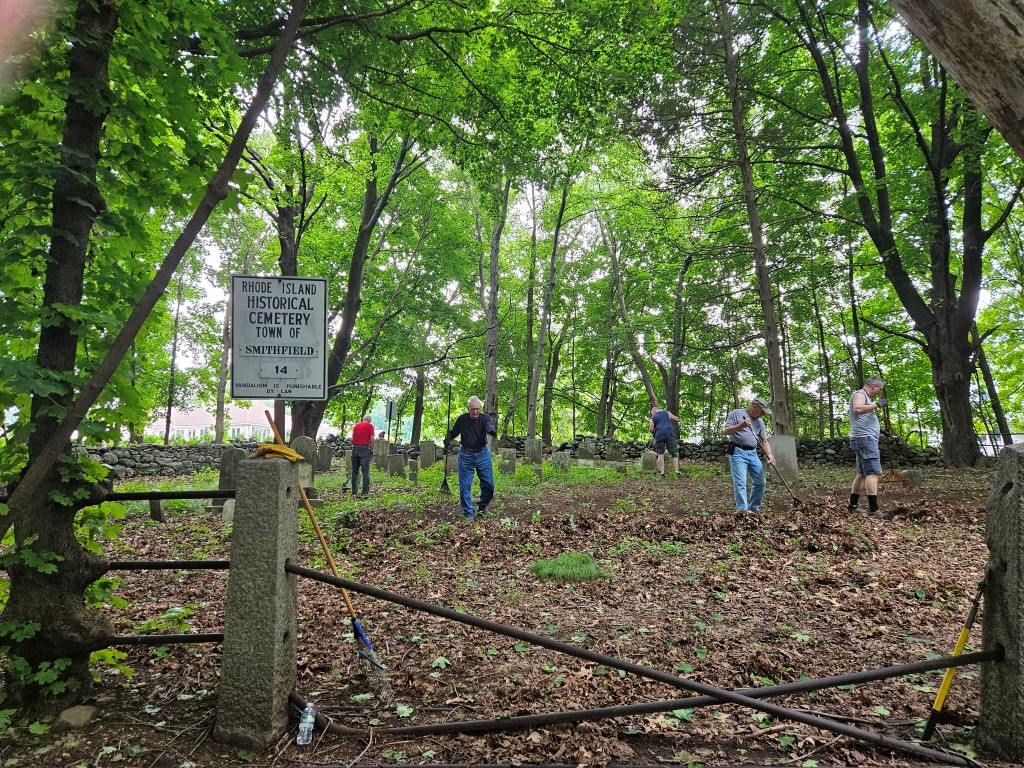
FEATURED CEMETERY PHOTO
Photo/Image Courtesy of Rhode Island Historic Cemetery Volunteers
Cemetery Number
SM014
Town
SMITHFIELD
Cemetery Name
THOMAS APPLEBEY LOT
Find A Grave (Opens in New Tab)
Go to Find a Grave
Graves List
Display Graves List
Location
CONNORS FARM ROAD
State
RI
Direction
E
Pole Number
29
Distance
240
Map Number
Page Number
Plat Number
Deed Book
Deed Page
Size in Feet
60
Size in Feet
70
Inscriptions
25
Fieldstones
3
Tombs
Exist?
YES
Last seen date?
Newest
1944
Oldest
1828
Vandalism
N
Veteran
Pole
G
Comment
Located 240 feet east of the house at 42 Connors Farm Road. Transcribed by James n Arnold (Vol 25 pp323-328). He desribes lot as follows: "On the William Corey farm in sight of the house and by the road, a burial yard of his family, lot fenced by granite posts and iron rails. Yard neglected." Ethel M White transcribed on May 23, 1937, and described as follows: "Applebey Burial Place Williams Road leads off of Log Road from Pleasant View Ave,(old Spragueville Road) Spragueville, RI Route 116. Beautiful view of Wionkeige Valley." Transcribed by Ron Farrar who described lot as: "Williams Road" Transcribed by Roger Beaudry March 28, 1998. Lot is located to the rear of 100 Williams Rd. It is boreder on the south and west by a stone wall and on the north and east by granite posts with iron rails. No opening exists to use an an entrance to the yard.
Condition
good
Enclosure
stone wall
Gate
other
Growth
overgrown-weeds
Terrain
hilly moderate
Cemetery Location
Cemetery Burial Map
ADDITIONAL CEMETERY PHOTOS/MAPS
 Photo/Image Courtesy of Rhode Island Historic Cemetery Volunteers