| Cemetery Number | SK116 |
| Town | SOUTH KINGSTOWN |
| Cemetery Name | STOUT JEFFREY HAZARD LOT |
| Find A Grave (Opens in New Tab) |
|
| Graves List | Display Graves List |
| Location | BROAD ROCK RD |
| State | RI |
| Direction | SW |
| Pole Number | 114 |
| Distance | 150 |
| Map Number | |
| Page Number | |
| Plat Number | |
| Deed Book | |
| Deed Page | |
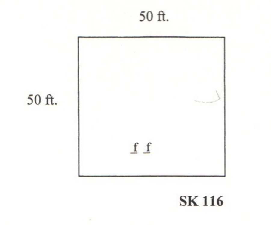
| Size in Feet | 50 |
| Size in Feet | 50 |
| Inscriptions | 0 |
| Fieldstones | 45 |
| Tombs | |
| Exist? | YES |
| Last seen date? | 2003 |
| Newest | |
| Oldest | |
| Vandalism | N |
| Veteran | |
| Pole | N |
| Comment | This cemetery is located 150 feet southwest of Broad Rock Road at telephone pole #114, 100 feet in on Broad Rock Road from Route #138. It is west of the Saugatucket River just as it crosses Broad Rock Road and south of the house at #1610 Broad Rock Road up an embankment, three hundred feet west of road. This lot is south of SK 11 by some five hundred feet. It is fifty feet square, in fair condition, with no enclosure or historical cemetery sign. Arnold found 47 burials all marked with fieldstones in 1880, but in 1998 only two fieldstone-marked graves could be identified.
James N. Arnold visited this lot Feb. 27, 1880, his #45, “on land of Peleg Lawton a short distance west of his house and barn is an old Hazard burial yard containing if we counted correct 35 large and 12 small graves. The plow has obliterated others. Lot in open field and unprotected. We are informed that stout Jeffery Hazard is buried here. He was one of the stoutest men of his day and his feats of strength are the tradition of today.”
On the 1857 Henry F. Walling map the farm where this cemetery is located at Mooresfield is labeled “Jeffrey Hazard Place.” There was a man known as “Stout Jeffrey” Hazard who was born Sept. 29, 1696 and died in 1767, but more research is needed to determine whether these two men are one and the same.
Found, registered, and recorded by John Sterling & James Wheaton for a 2004 book on South Kingstown cemeteries. |
| Condition | fair |
| Enclosure | no enclosure |
| Gate | no gate |
| Growth | overgrown-trees |
| Terrain | hilly moderate |
| Cemetery Location |
|
| Cemetery Burial Map |
|
| |
|