| Cemetery Number | SK092 |
| Town | SOUTH KINGSTOWN |
| Cemetery Name | HENRY GARDNER LOT |
| Find A Grave (Opens in New Tab) |
|
| Graves List | Display Graves List |
| Location | STONY FORT RD |
| State | RI |
| Direction | E |
| Pole Number | |
| Distance | 100 |
| Map Number | |
| Page Number | |
| Plat Number | |
| Deed Book | |
| Deed Page | |
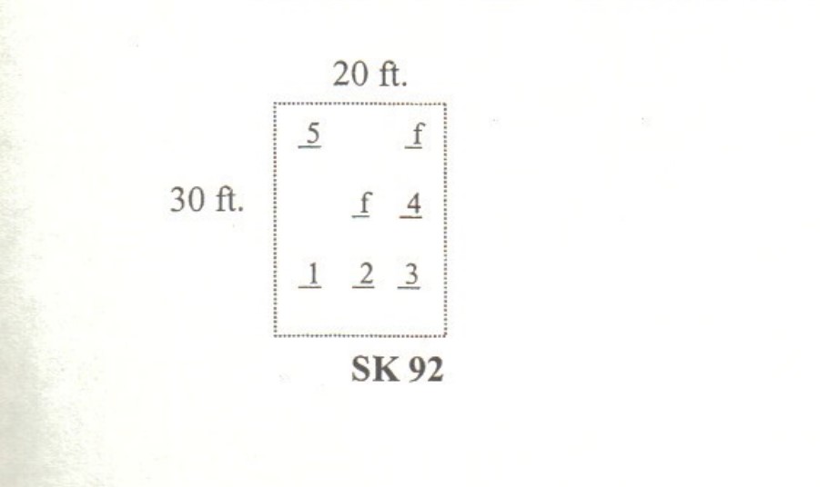
| Size in Feet | 30 |
| Size in Feet | 20 |
| Inscriptions | 5 |
| Fieldstones | 2 |
| Tombs | |
| Exist? | YES |
| Last seen date? | 2002 |
| Newest | 1800 |
| Oldest | 1758 |
| Vandalism | N |
| Veteran | |
| Pole | M |
| Comment | This cemetery is located one hundred feet east of Stony Fort Road where the road bends sharply south. One hundred feet south of the North Kingstown line, it shows on Narragansett Pier quadrant of the geological survey map. It is thirty feet by twenty feet, in good condition, with no enclosure except for a stone wall on the south side. The historical cemetery sign for this cemetery was incorrectly installed in SK114. It contains twelve burials with five inscribed stones and seven fieldstones. Arnold noted seven fieldstones in 1880, but only two were seen in 1995.
James N. Arnold recorded this lot Feb. 27, 1880, his #46, “the residence of Peleg Lawton and farm is known as the Col. Henry Gardiner and also as the Samuel Stanton farm. A short distance north of his house is a burial yard in which we read, lot unprotected. All dark slabs [slate]” Right after recording this lot he visited the following: “See North Kingstown. A distance north of this yard near his saw mill in woods is an extensive burial yard of slaves of the Gardiner family, lot overgrown with briar and weeds and difficult to count, perhaps 75 or 80 graves if they could be crudely numbered.” This lot has been registered as North Kingstown historical cemetery #180.
Recorded by John Sterling and James Wheaton for a 2004 book on South Kingstown cemeteries. |
| Condition | good |
| Enclosure | no enclosure |
| Gate | no gate |
| Growth | overgrown-weeds |
| Terrain | level |
| Cemetery Location |
|
| Cemetery Burial Map |
|
| |
|