Rhode Island Historical Cemeteries
Home
Members
Events
Meetings/Minutes
Database
FAQ/Documents
Links
Groups/Associations
Contact
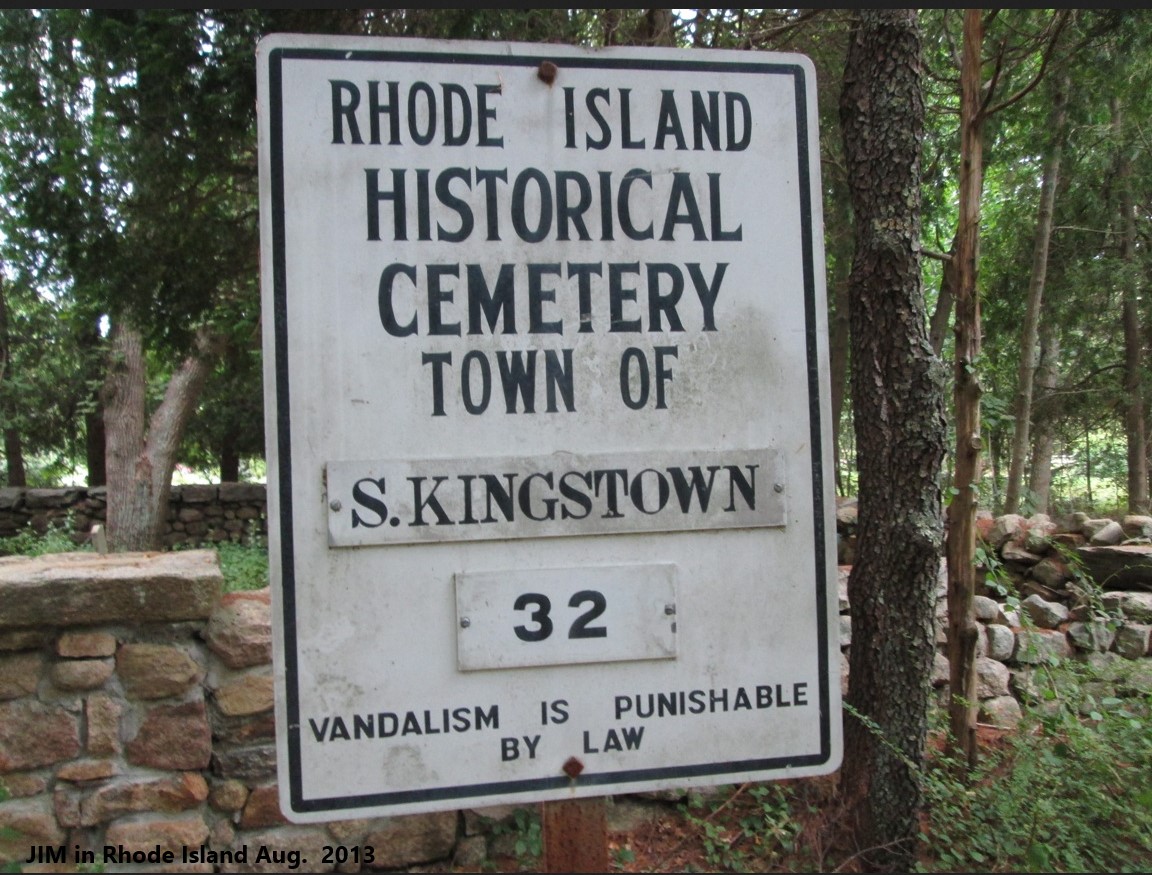
FEATURED CEMETERY PHOTO
Photo/Image Courtesy of Rhode Island Historic Cemetery Volunteers
Cemetery Number
SK032
Town
SOUTH KINGSTOWN
Cemetery Name
JAMES KNOWLES LOT
Find A Grave (Opens in New Tab)
Go to Find a Grave
Graves List
Display Graves List
Location
MINISTERIAL RD
State
RI
Direction
W
Pole Number
5189
Distance
750
Map Number
Page Number
Plat Number
Deed Book
Deed Page
Size in Feet
50
Size in Feet
35
Inscriptions
13
Fieldstones
6
Tombs
Exist?
YES
Last seen date?
2003
Newest
1927
Oldest
1824
Vandalism
N
Veteran
Pole
G
Comment
This cemetery is located 750 feet west of Ministerial Road at telephone pole # 5189, just north of the Boy Scout camp. It is 800 feet east of Warden Pond. To get to it go eight hundred feet west on the road into the Boy Scout camp to the first building. Then go north on the trail for five hundred feet to the cemetery. It is one hundred feet south of the first house north of the camp. The cemetery is 50 feet x 35 feet, in good condition, enclosed with a stone wall, and the historical cemetery sign is in good condition. There are nineteen burials with thirteen inscribed stones and six fieldstones. James N. Arnold visited this lot 6 Oct 1880, his #130, “on land of Lorenzo A. Knowles north of his house in corner of lot, partly protected a burial yard of his family.” Recorded by John Sterling and James Wheaton for a 2004 book on South Kingstown cemeteries.
Condition
good
Enclosure
stone wall
Gate
no gate
Growth
cleared
Terrain
level
Cemetery Location
Cemetery Burial Map
ADDITIONAL CEMETERY PHOTOS/MAPS
 Photo/Image Courtesy of Rhode Island Historic Cemetery Volunteers