Rhode Island Historical Cemeteries
Home
Members
Events
Meetings/Minutes
Database
FAQ/Documents
Links
Groups/Associations
Contact
FEATURED CEMETERY PHOTO
Photo/Image Courtesy of Rhode Island Historic Cemetery Volunteers
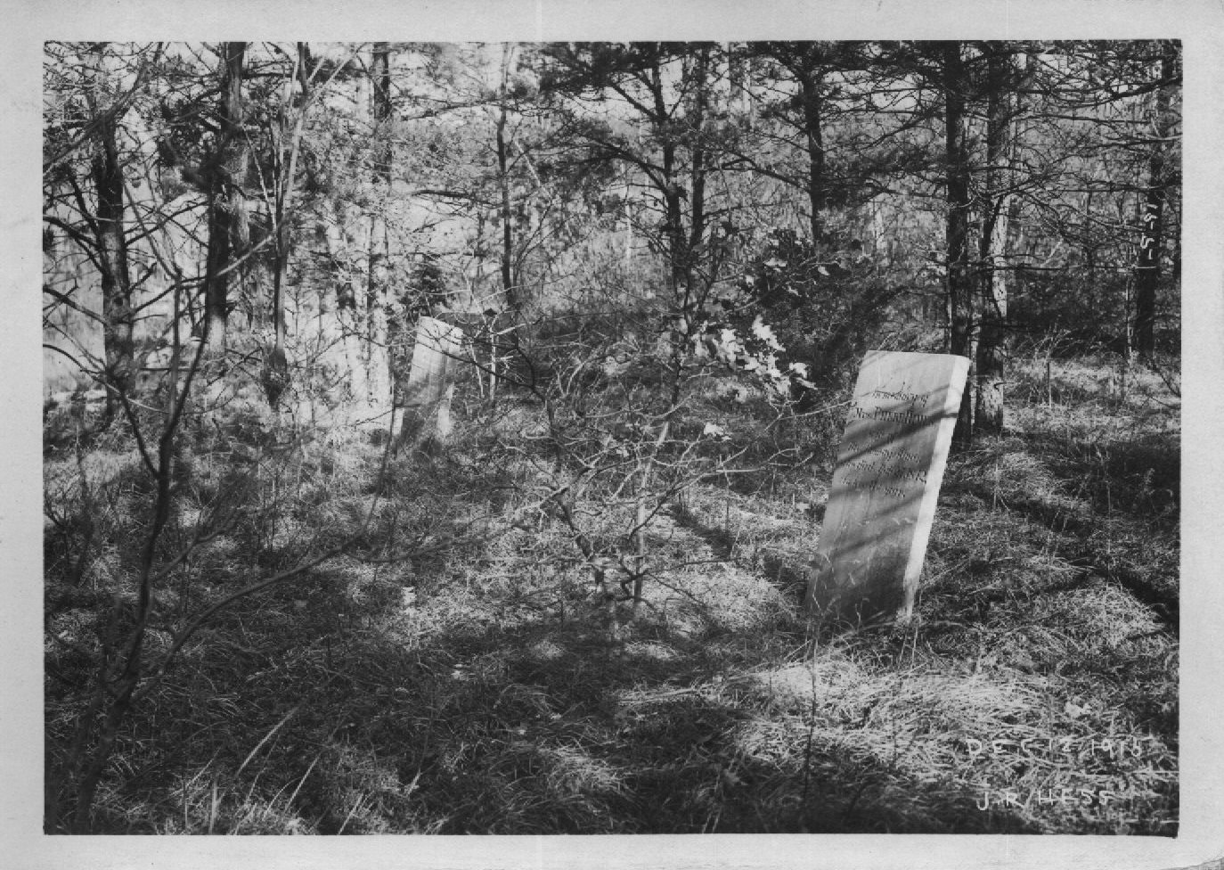
Cemetery Number
SC172
Town
SCITUATE
Cemetery Name
HINES LOT
Find A Grave (Opens in New Tab)
Go to Find a Grave
Graves List
Display Graves List
Location
[REMOVED TO ROCKLAND CEMETERY]
State
RI
Direction
Pole Number
Distance
Map Number
Page Number
Plat Number
Deed Book
Deed Page
Size in Feet
50
Size in Feet
20
Inscriptions
2
Fieldstones
0
Tombs
Exist?
NO
Last seen date?
1917
Newest
1842
Oldest
1833
Vandalism
Veteran
Pole
Comment
Reservoir map A8-#796; photo #155 James N Arnold recorded this lot 14 Oct 1905 before it was removed to make way for the reservoir (Vol 5, Pg 86) On the next farm west of the Rowland Johnson on west side of road in edge of wood, lot covered with upland cranberries and some brush, not protected. approx. GPS coordinates 41 deg. 45.717' x 71 deg. 35.293'
Condition
Enclosure
no enclosure
Gate
Growth
Terrain
Cemetery Location
Cemetery Burial Map
ADDITIONAL CEMETERY PHOTOS/MAPS
 Photo/Image Courtesy of Rhode Island Historic Cemetery Volunteers