Rhode Island Historical Cemeteries
Home
Members
Events
Meetings/Minutes
Database
FAQ/Documents
Links
Groups/Associations
Contact
FEATURED CEMETERY PHOTO
Photo/Image Courtesy of Rhode Island Historic Cemetery Volunteers
Cemetery Number
SC109
Town
SCITUATE
Cemetery Name
KIMBALL ATWOOD LOT
Find A Grave (Opens in New Tab)
Go to Find a Grave
Graves List
Display Graves List
Location
BATTEY MEETINGHOUSE ROAD
State
RI
Direction
W
Pole Number
Distance
Map Number
Page Number
Plat Number
Deed Book
Deed Page
Size in Feet
41
Size in Feet
39
Inscriptions
17
Fieldstones
Tombs
Exist?
Last seen date?
Newest
1895
Oldest
1827
Vandalism
Veteran
0
Pole
Comment
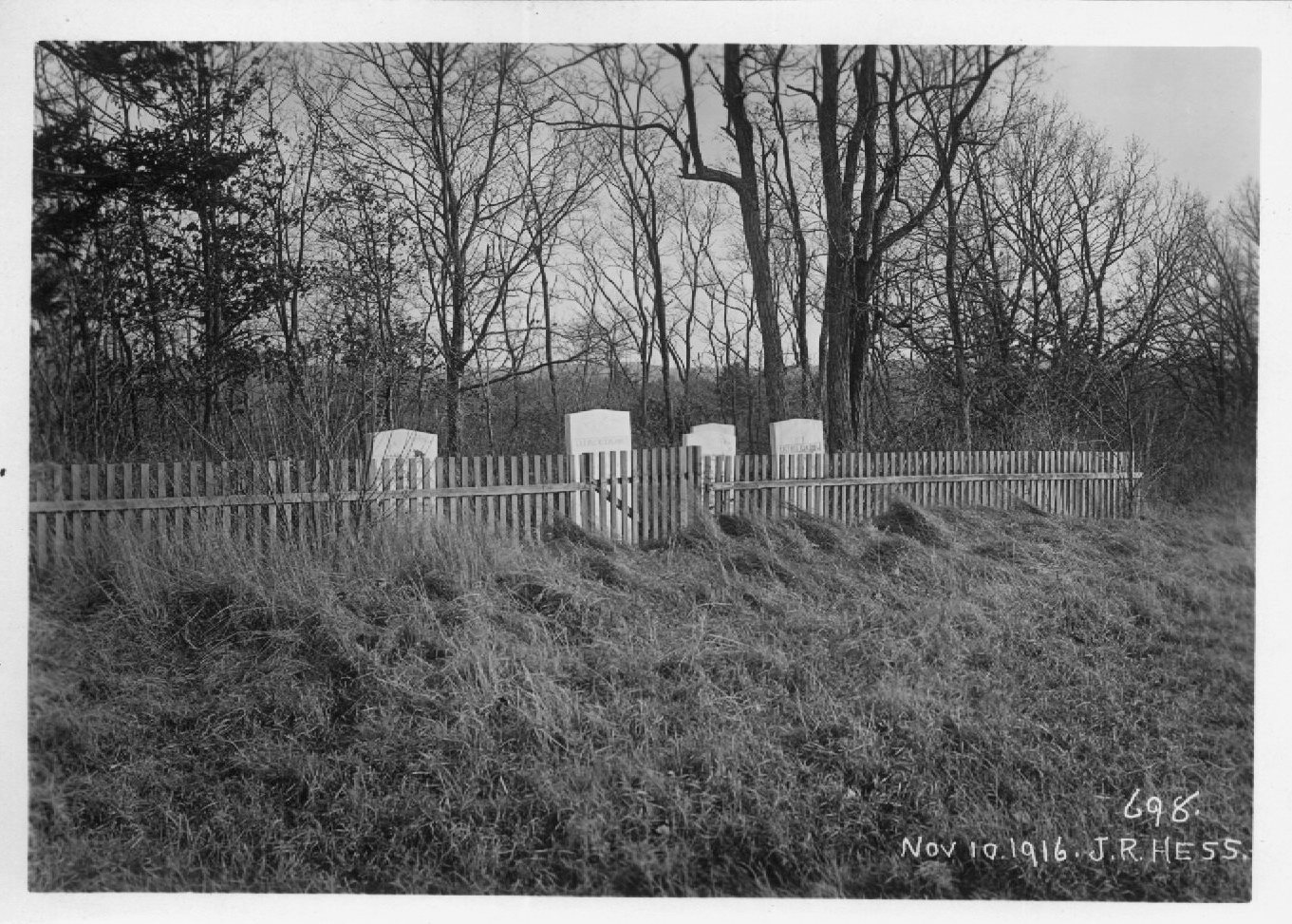
Located on the restricted reservoir property west of Battey Meetinghouse Road, about 4300 feet south of Central Pike. Approx GPS coordinates 41 48' 33.15" N 71 36' 14.66" W James N Arnold recorded this lot 27 Oct 1904 (Vol 5, Pg 437) On the Kimball Atwood farm beside the road, wall on road side, fence on the other three sides in good order, yard much neglected and very brushy. Recorded by DAR 1976 In on Reservoir Property on Battey Meeting House Road. Scituate Reservoir general plan: reservoir map A-4; #760, photo #698; notes taken May 24, 1917. Enclosed on three sides with a wood picket fence.
Condition
Enclosure
wood fence
Gate
Growth
Terrain
Cemetery Location
Cemetery Burial Map
ADDITIONAL CEMETERY PHOTOS/MAPS
 Photo/Image Courtesy of Rhode Island Historic Cemetery Volunteers