Rhode Island Historical Cemeteries
Home
Members
Events
Meetings/Minutes
Database
FAQ/Documents
Links
Groups/Associations
Contact
FEATURED CEMETERY PHOTO
Photo/Image Courtesy of Rhode Island Historic Cemetery Volunteers
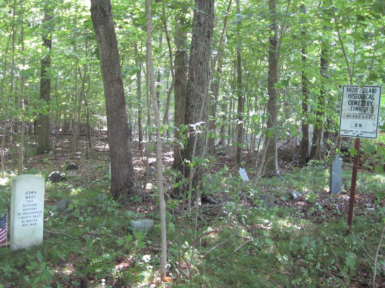
Cemetery Number
SC026
Town
SCITUATE
Cemetery Name
COL WILLIAM WEST LOT
Find A Grave (Opens in New Tab)
Go to Find a Grave
Graves List
Display Graves List
Location
DANIELSON PIKE
State
RI
Direction
S
Pole Number
145
Distance
100
Map Number
Page Number
Plat Number
Deed Book
Deed Page
Size in Feet
20
Size in Feet
20
Inscriptions
3
Fieldstones
Tombs
Exist?
YES
Last seen date?
2013
Newest
1819
Oldest
1815
Vandalism
Veteran
1
Pole
G
Comment
Located 100 feet south of Danielson Pike across from St. Mary Road. James N Arnold recorded this lot 13 Sep 1904 (Vol 3, Pg 1) On the Gov West farm in meadow and nearly opposite of the house across the road…. At feet are six graves we have been told the next and one nearest to the road separate from the others was that of Gov. William West [Deputy Gov May 1780-May 1781]…at the feet of Dr. Allenton. "Atwood Farm" [The parents of Gov. Stephen Hopkins and Admiral Esek Hopkins are said to be buried here. Maj. William and Ruth Wilkinson) Hopkins purchased 200 acres near Chopmist about 1709. The homestead was later sold to Col. William West. - see Ralph Mohr's book "Rhode Island footprints On The Sands Of Time" (The Oxford Press, Providence, RI, 1975)
Condition
Enclosure
Gate
Growth
overgrown-weeds
Terrain
level
Cemetery Location
Cemetery Burial Map
N/A
ADDITIONAL CEMETERY PHOTOS/MAPS
 Photo/Image Courtesy of Rhode Island Historic Cemetery Volunteers