Rhode Island Historical Cemeteries
Home
Members
Events
Meetings/Minutes
Database
FAQ/Documents
Links
Groups/Associations
Contact
FEATURED CEMETERY PHOTO
Photo/Image Courtesy of Rhode Island Historic Cemetery Volunteers
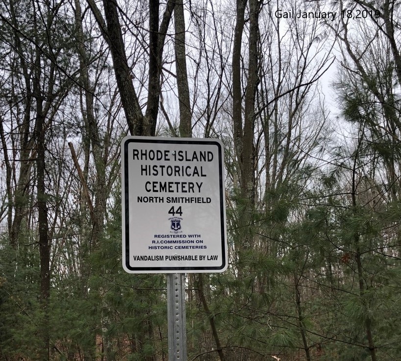
Cemetery Number
NS044
Town
NORTH SMITHFIELD
Cemetery Name
MORTON MOWRY LOT
Find A Grave (Opens in New Tab)
Go to Find a Grave
Graves List
Display Graves List
Location
IRON MINE HILL RD
State
RI
Direction
S
Pole Number
6
Distance
650
Map Number
Page Number
Plat Number
Deed Book
Deed Page
Size in Feet
10
Size in Feet
10
Inscriptions
2
Fieldstones
Tombs
Exist?
YES
Last seen date?
2013
Newest
1870
Oldest
1854
Vandalism
N
Veteran
Pole
N
Comment
This cemetery is located 650 feet south of Iron Mine Hill Road and 800 feet east of Farnum Pike. It is also 1310 feet northeast of the North Smithfield High School. This lot first recorded by Irene Nebiker in the early 1970's, and again by Roger Beaudry on December 11, 1994. These two stones are located approximatel 25 ft south west of NS043. The size of the lot is an estimate based on the two stones found. If it weren't for the Nebiker survey, this writer would have entirely missed these two stones. One stone was buried and the other had been entirely covered by a fallen limb. Transcribed by Ron Farrar circa 1970. "Between Iron Mine Road & Victor Girard, near Greenville Road." Note---transcribed with NS042 & NS043
Condition
poor
Enclosure
no enclosure
Gate
no gate
Growth
overgrown-trees
Terrain
hilly moderate
Cemetery Location
Cemetery Burial Map
N/A
ADDITIONAL CEMETERY PHOTOS/MAPS
 Photo/Image Courtesy of Rhode Island Historic Cemetery Volunteers