| Cemetery Number | NS027 |
| Town | NORTH SMITHFIELD |
| Cemetery Name | WILKINSON CEMETERY |
| Find A Grave (Opens in New Tab) |
|
| Graves List | Display Graves List |
| Location | GRANGE ROAD |
| State | RI |
| Direction | W |
| Pole Number | 27 |
| Distance | 130 |
| Map Number | 15 |
| Page Number | 15 |
| Plat Number | 62 |
| Deed Book | |
| Deed Page | |
| Size in Feet | 70 |
| Size in Feet | 100 |
| Inscriptions | |
| Fieldstones | 11 |
| Tombs | |
| Exist? | YES |
| Last seen date? | 2013 |
| Newest | |
| Oldest | |
| Vandalism | N |
| Veteran | |
| Pole | M |
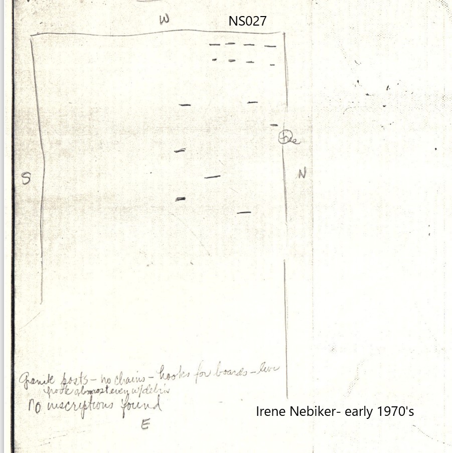
| Comment | Located 230 feet west of Grange Road opposite Rocky Hill Road.
Cemetery originally surveyed by Irene Nebiker in the early 1970's. Resurveyed by Roger Beaudry on November 27, 1994. At that time, cemetery was enclosed by granite posts only on the west and south side, and a stone wall on the north side. It was totally open to the east. Cemetery sits adjacent to the Primrose Grange Hall, and its condition can only be described as deplorable. It is totally overgrown with trees, brush, and tall weeds. Leaves and fallen branches were high enough to cover most of the fieldstones.
Land records in the North Smithfield Town Hall give the size of the lot as .016 acres, and lists no owner. In past surveys, this lot was referred to as the Andrews Lot, town records list it as the Wilkinson Lot. The registered name has been changed to the latter.
Transcribed by Ron Farrar circa 1970, "Primrose Grange, Grange Road. 12 to 14 fieldstone graves." |
| Condition | very poor |
| Enclosure | granite posts |
| Gate | no gate |
| Growth | overgrown-trees |
| Terrain | level |
| Cemetery Location |
|
| Cemetery Burial Map |
|
| |
|