Rhode Island Historical Cemeteries
Home
Members
Events
Meetings/Minutes
Search Database
FAQ
Links
Groups/Associations
Contact
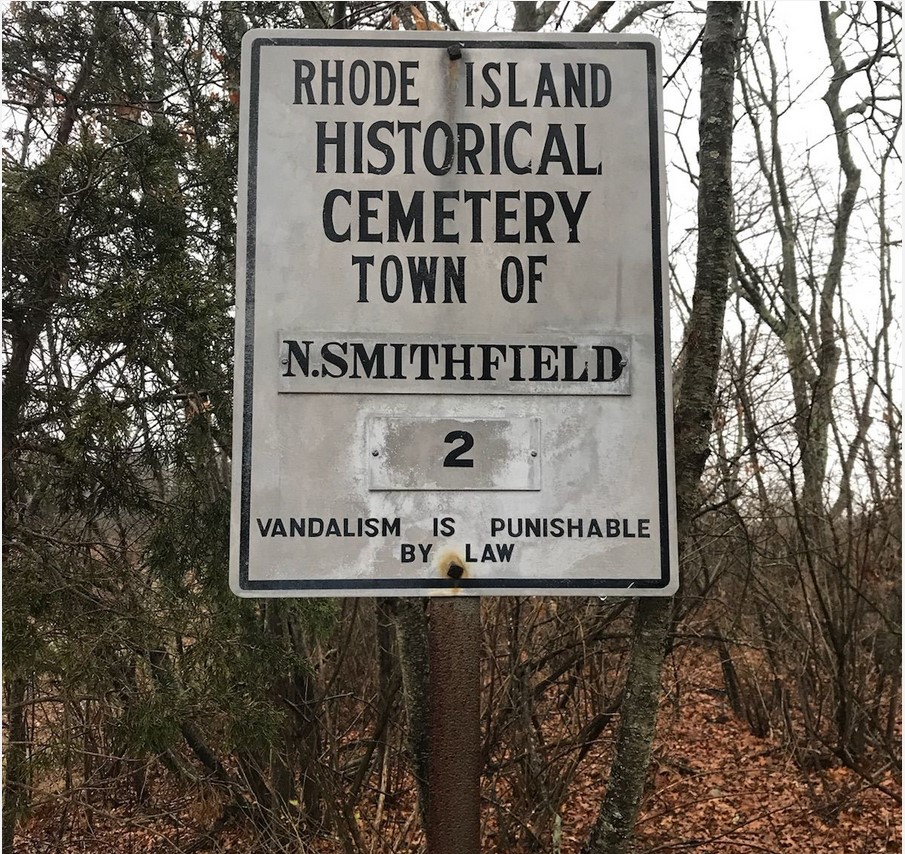
FEATURED CEMETERY PHOTO
Photo/Image Courtesy of Rhode Island Historic Cemetery Volunteers
Cemetery Number
NS002
Town
NORTH SMITHFIELD
Cemetery Name
BUXTON CEMETERY
Find A Grave (Opens in New Tab)
Go to Find a Grave
Graves List
Display Graves List
Location
BUXTON STREET
State
RI
Direction
NW
Pole Number
42
Distance
500
Map Number
Page Number
Plat Number
Deed Book
Deed Page
Size in Feet
25
Size in Feet
25
Inscriptions
2
Fieldstones
3
Tombs
Exist?
YES
Last seen date?
2017
Oldest
1813
Newest
1875
Enclosure
no enclosure
Gate
no gate
Terrain
rocky
Comment
This cemetery is located 500 feet NW of Buxton St. at #489. It is 1640 feet south of the MASS/RI line. Cemetery was first surveyed by Irene Nebiker in the early 1970's. She described location as Buxton Street Tree Farm. Roger Beaudry surveyed on October 28, 1994. Richard Keene and Seth Amato surveyed on 5 Dec 2017. The cemetery stands behind the farmhouse adjacent to a stone wall. The sign was in excellent condition and was fortunately visible from the road. The cemetery is well maintained in 2017. The stone wall has collapsed in some places and fallen into the cemetery. Only two legible stones and 3 field stones were found. The borders of the cemetery are impossible to determine, therefore the use of 25' X 25' was used only because this is the area in which the visible stones were found. Transcribed by Ron Farrar circa 1970. "Cider Mill Road, Tice's Place."
Cemetery Location
Cemetery Burial Map
N/A
ADDITIONAL CEMETERY PHOTOS/MAPS
 Photo/Image Courtesy of Rhode Island Historic Cemetery Volunteers