Rhode Island Historical Cemeteries
Home
Members
Events
Meetings/Minutes
Database
FAQ/Documents
Links
Groups/Associations
Contact
FEATURED CEMETERY PHOTO
Photo/Image Courtesy of Rhode Island Historic Cemetery Volunteers
Cemetery Number
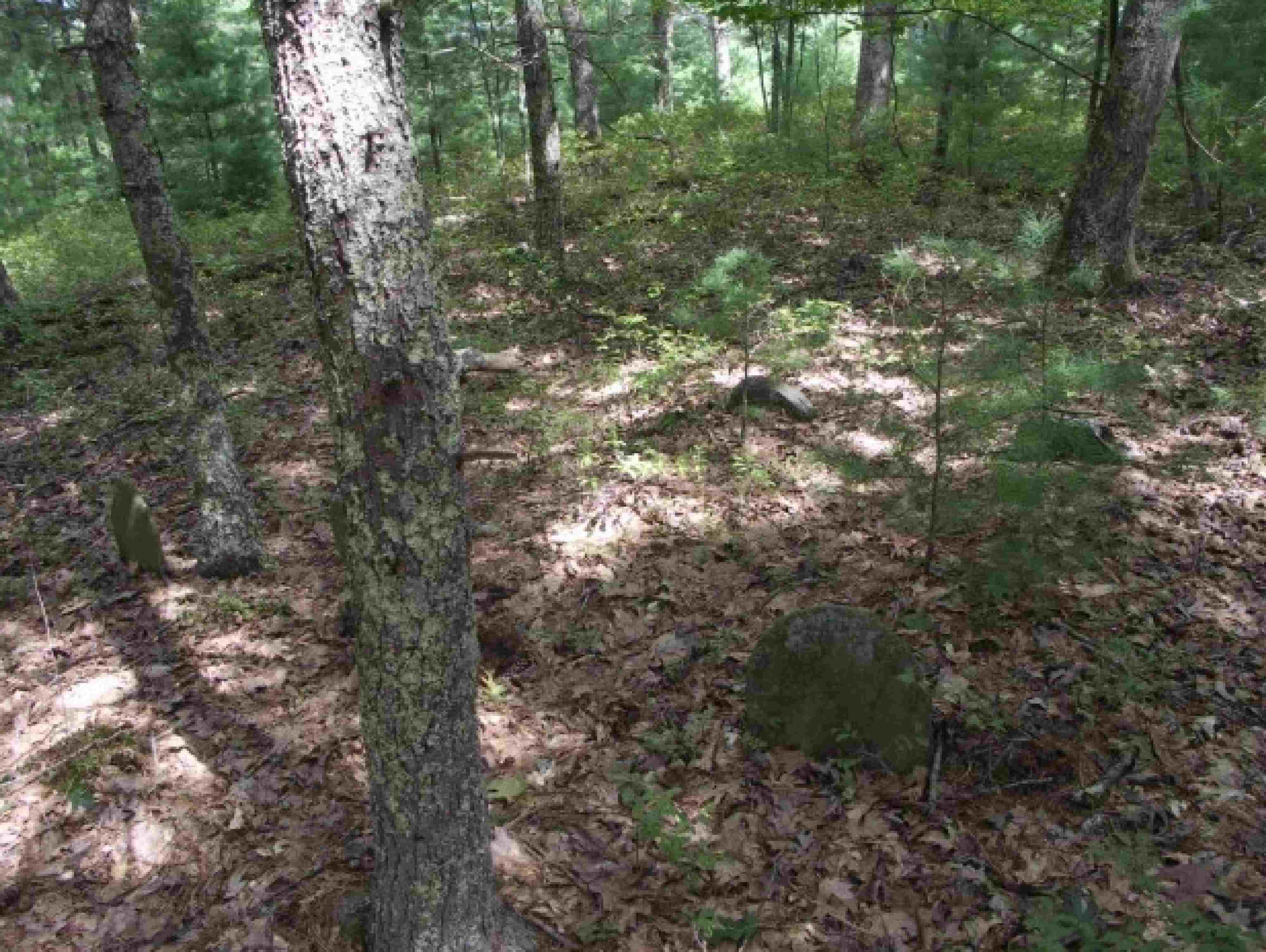
FR119
Town
FOSTER
Cemetery Name
RANDALL LOT
Find A Grave (Opens in New Tab)
Go to Find a Grave
Graves List
Display Graves List
Location
HEMLOCK RD
State
RI
Direction
S
Pole Number
Distance
300
Map Number
Page Number
Plat Number
Deed Book
Deed Page
Size in Feet
30
Size in Feet
30
Inscriptions
1
Fieldstones
6
Tombs
Exist?
YES
Last seen date?
Newest
1836
Oldest
1836
Vandalism
Y
Veteran
0
Pole
F
Comment
200 yards west of the Hemlock Road Bridge and 100 yards south of the road. Cemetery is on Providence Water Supply Board property. It sits on a knoll overlooking Hemlock Brook. It was difficult to reach due to thick second growth evergreens and many tree lombs left on the ground to rot that were obscured by the growth.
Condition
Enclosure
Gate
Growth
Terrain
Cemetery Location
Cemetery Burial Map
N/A
ADDITIONAL CEMETERY PHOTOS/MAPS
 Photo/Image Courtesy of Rhode Island Historic Cemetery Volunteers