Rhode Island Historical Cemeteries
Home
Members
Events
Meetings/Minutes
Database
FAQ/Documents
Links
Groups/Associations
Contact
FEATURED CEMETERY PHOTO
Photo/Image Courtesy of Rhode Island Historic Cemetery Volunteers
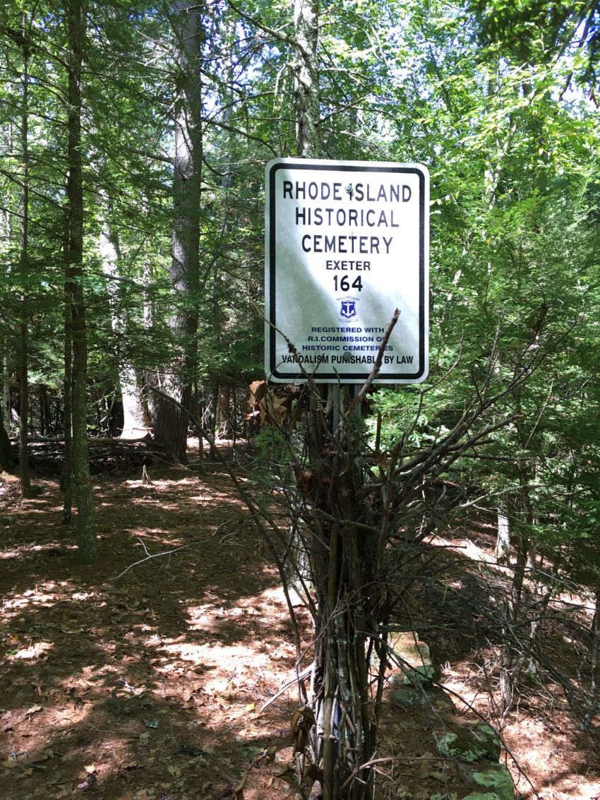
Cemetery Number
EX164
Town
EXETER
Cemetery Name
UNKNOWN LOT
Find A Grave (Opens in New Tab)
Graves List
Display Graves List
Location
PACHOAG TRAIL
State
RI
Direction
Pole Number
Distance
Map Number
Page Number
Plat Number
Deed Book
Deed Page
Size in Feet
Size in Feet
Inscriptions
0
Fieldstones
7
Tombs
Exist?
YES
Last seen date?
2023
Newest
Oldest
Vandalism
Veteran
Pole
N
Comment
Located about half way between Beach Pond and Tippecansett Pond and 200 feet east of the RI-CT state line. It is 4800 feet north of Route #165 and 2100 feet north of Beach Pond. To reach this cemetery from Route #165 park at the trailhead at telephone pole #1384. There are two trails (old cart paths) entering the woods here. Take the trail to the east (Tippecansett Trail / yellow trail) north for about 3000 feet to the blue trail on the left. This is a crossover trail to the Pachaug Trail. Follow this trail northwest to a stream (about 2600 feet). Cross the stream (Pachaug River) and when you come to fork in the trail take the right fork which is the Pachaug Trail. 100 feet past the stream leave the trail and go north 150 feet to the cemetery. Look for the stone wall about 3 feet high. Found and registered in Dec. 2013 by Dory Wagner.
Condition
fair
Enclosure
stone wall
Gate
Growth
overgrown-trees
Terrain
level
Cemetery Location
Cemetery Burial Map
N/A
ADDITIONAL CEMETERY PHOTOS/MAPS
 Photo/Image Courtesy of Rhode Island Historic Cemetery Volunteers