Rhode Island Historical Cemeteries
Home
Members
Events
Meetings/Minutes
Database
FAQ/Documents
Links
Groups/Associations
Contact
FEATURED CEMETERY PHOTO
Photo/Image Courtesy of Rhode Island Historic Cemetery Volunteers
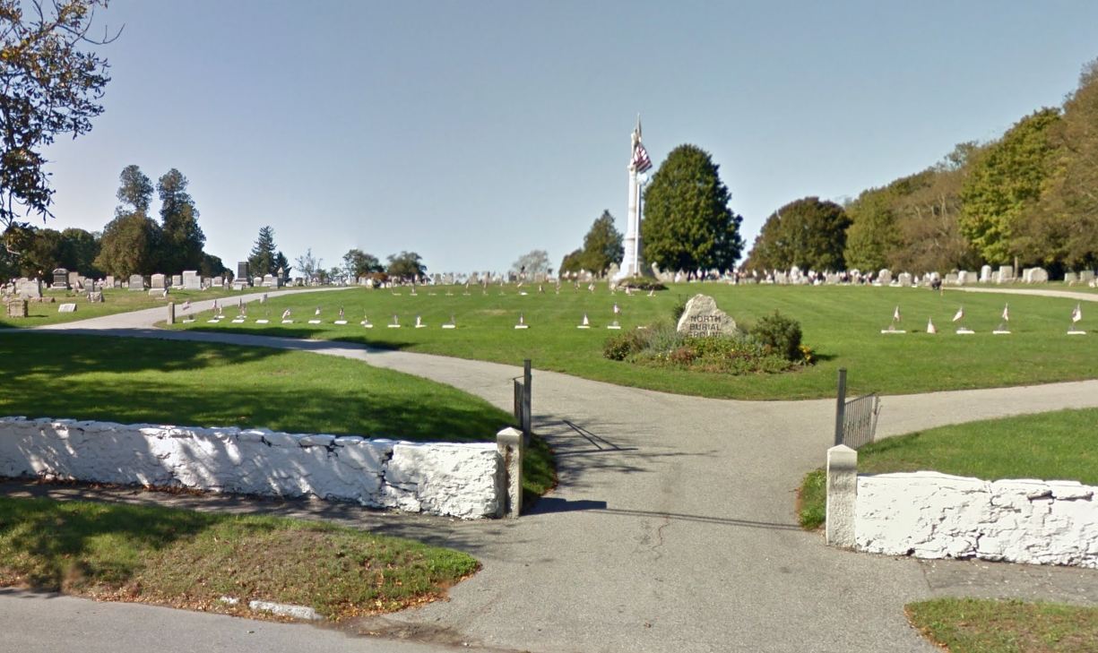
Cemetery Number
BR001
Town
BRISTOL
Cemetery Name
NORTH BURIAL GROUND
Find A Grave (Opens in New Tab)
Go to Find a Grave
Graves List
Display Graves List
Location
HOPE ST (RT 114) AT ASYLUM RD
State
RI
Direction
W
Pole Number
134
Distance
15
Map Number
Page Number
Plat Number
Deed Book
Deed Page
Size in Feet
1525
Size in Feet
700
Inscriptions
5600
Fieldstones
Tombs
Exist?
YES
Last seen date?
Newest
Oldest
Vandalism
Veteran
750
Pole
G
Comment
Located west of Hope Street and north of Asylum Road. In 1822 the town purchased a tract of land on the Neck for the purpose of erecting a "House of Industry" (poor house). At the town meeting 17 April 1822 it was voted "A part of said town land be set apart for a burying ground, the same to be well enclosed. This cemetery covers 30.8 acres. 18.9 is now being used and 11.9 acres at the west end is for future expansion. A transcript of this cemetery was done in 1978 as a CETA project by two people known only as MJR & AB. It only covers about 1/3 of the cemetery in the southeast corner. It was partially recorded in 1996 by John Sterling who unearthed and recorded a number of slate gravestones on the mound around the tomb. Every gravestone was photographed by Julie Nathanson from 2008 - 2013
Condition
excellent
Enclosure
stone wall
Gate
iron gate
Growth
grass-well kept
Terrain
hilly moderate
Cemetery Location
Cemetery Burial Map
N/A
ADDITIONAL CEMETERY PHOTOS/MAPS
 Photo/Image Courtesy of Rhode Island Historic Cemetery Volunteers