Cemetery Details
NT007 — JOHN CLARKE BURIAL GROUND
FEATURED CEMETERY PHOTO
 Photo/Image Courtesy of Rhode Island Historic Cemetery Volunteers
| Cemetery Number | NT007 |
| Town | NEWPORT |
| Cemetery Name | JOHN CLARKE BURIAL GROUND |
| Find A Grave | Go to Find a Grave |
| Graves List | Display Graves List |
| Location | DR. MARCUS WHEATLAND BLVD. |
| State | RI |
| Direction | W |
| Pole Number | 12 |
| Distance | 15 |
| Map Number | |
| Page Number | |
| Plat Number | |
| Deed Book | |
| Deed Page | |
| Size in Feet | 50 |
| Size in Feet | 100 |
| Inscriptions | |
| Fieldstones | |
| Tombs | |
| Exist? | YES |
| Last seen date? | |
| Oldest | 1676 |
| Newest | 1855 |
| Enclosure | granite posts/iron rails |
| Gate | iron gate |
| Terrain | level |
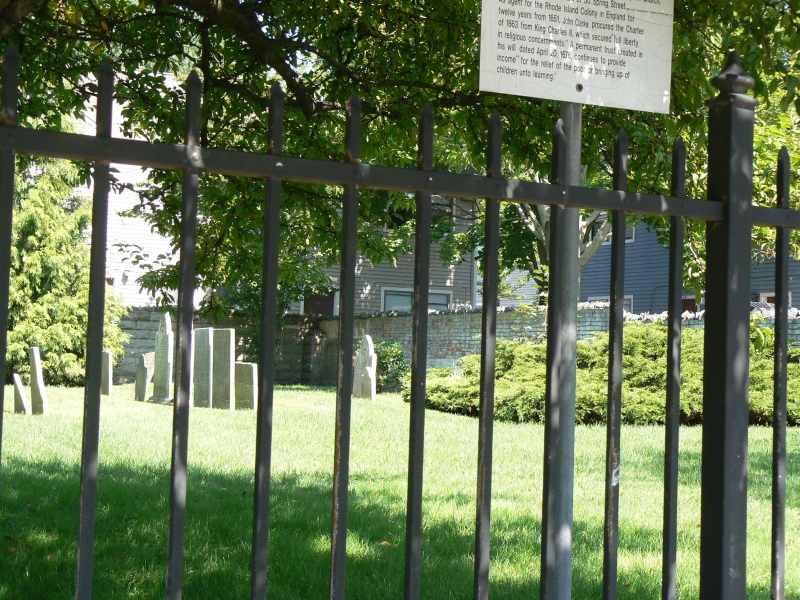
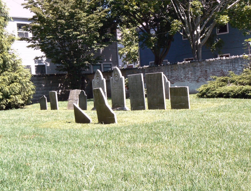
| Comment | "History of Newport County, Rhode Island," New York, 1888, ed. Richard M. Bayles: "On West Broadway is a little cemetery containing the graves of Dr. John Clarke, one of the founders of Newport and pastor of the First Baptist church. He died in 1676. Here also rest the remains of Reverend John Callender and other pastors of this church. Calender died in 1748." This cemetery is in beautiful condition: walled on one side, with an iron fence on a stone base, and padlocked iron gate. The standard RI Historical Cemetery sign is not in evidence, but there is an elegant sign with the following inscription: JOHN CLARKE CEMETERY To the memory of Dr. John Clarke, 1609-1676 Clergyman Physician Statesman Leader of the settlers who purchased Aquidneck Island from the Indians on March 24 1638. He was the first pastor of the church now known as The Un. Baptist Church John Clarke Memorial, located at 30 Spring St. As agent for the Rhode Island Colony in England for twelve years from 1651, John Clarke procured the Charter of 1663 from King Charles II, which secured "full liberty in religious concernments." A permanent trust created in his will dated April 20 1696 continues to provide income "for the relief of the poor or the bringing up of children unto learning." Inscriptions were transcribed by Alden Beaman (AGB) and published in "Rhode Island Genealogical Register." GPS coordinates 41 deg 29' 37.68"N x 71 deg. 18' 40.58"N |
| Cemetery Location | |
| Cemetery Burial Map | N/A |
ADDITIONAL CEMETERY PHOTOS/MAPS