Cemetery Details
BR001 — NORTH BURIAL GROUND
FEATURED CEMETERY PHOTO
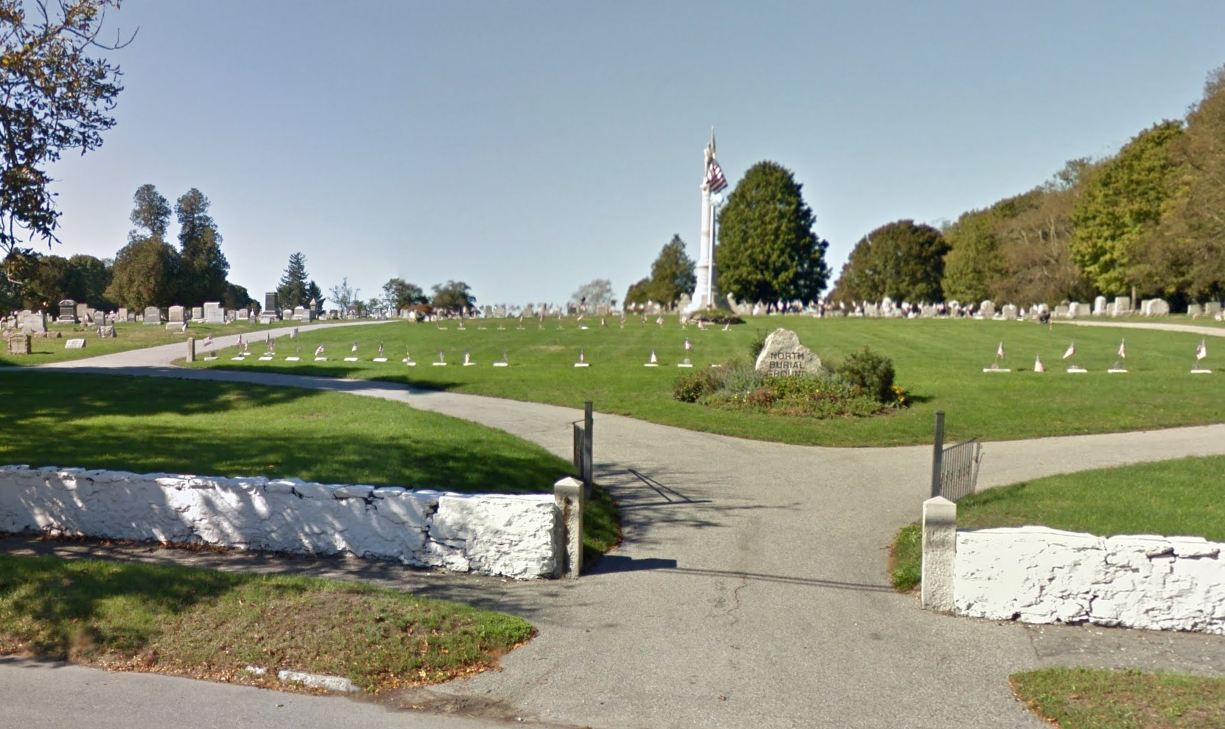 Photo/Image Courtesy of Rhode Island Historic Cemetery Volunteers
| Cemetery Number | BR001 |
| Town | BRISTOL |
| Cemetery Name | NORTH BURIAL GROUND |
| Find A Grave | Go to Find a Grave |
| Graves List | Display Graves List |
| Location | HOPE ST (RT 114) AT ASYLUM RD |
| State | RI |
| Direction | W |
| Pole Number | 134 |
| Distance | 15 |
| Map Number | |
| Page Number | |
| Plat Number | |
| Deed Book | |
| Deed Page | |
| Size in Feet | 1525 |
| Size in Feet | 700 |
| Inscriptions | 5600 |
| Fieldstones | |
| Tombs | |
| Exist? | YES |
| Last seen date? | |
| Oldest | 1696 |
| Newest | 2022 |
| Enclosure | stone wall |
| Gate | iron gate |
| Terrain | hilly moderate |
| Comment | Located west of Hope Street and north of Asylum Road. In 1822 the town purchased a tract of land on the Neck for the purpose of erecting a "House of Industry" (poor house). At the town meeting 17 April 1822 it was voted "A part of said town land be set apart for a burying ground, the same to be well enclosed. This cemetery covers 30.8 acres. 18.9 is now being used and 11.9 acres at the west end is for future expansion. A transcript of this cemetery was done in 1978 as a CETA project by two people known only as MJR & AB. It only covers about 1/3 of the cemetery in the southeast corner. It was partially recorded in 1996 by John Sterling who unearthed and recorded a number of slate gravestones on the mound around the tomb. Every gravestone was photographed by Julie Nathanson from 2008 - 2013 |
| Cemetery Location | |
| Cemetery Burial Map | N/A |